Ever picture your morning run along a flat waterside path while ships glide past and the tide turns below the bridge? If you are weighing a move to Sagamore near the Cape Cod Canal, you likely want that everyday access without the guesswork that comes with coastal living. In this guide, you will learn how canal-side life works, from trails and beaches to commute realities, seasons, flood considerations, and a smart home-search checklist. Let’s dive in.
Where Sagamore fits on the Cape
Sagamore is a village within the town of Bourne in Barnstable County on Cape Cod. It sits at the canal’s eastern end by the Sagamore Bridge, with Sagamore Beach on Cape Cod Bay close by. The Cape Cod Canal runs roughly seven miles between Buzzards Bay and Cape Cod Bay and is managed by the U.S. Army Corps of Engineers.
Canal paths, service roads, and recreation facilities are overseen by the U.S. Army Corps of Engineers. Nearby Scusset Beach State Reservation, including the beach and campground, is managed by the Massachusetts Department of Conservation and Recreation. Local services like zoning, taxes, permitting, and schools are handled by the Town of Bourne.
- Learn about canal recreation and facilities from the U.S. Army Corps of Engineers on the Cape Cod Canal page.
- Explore beach details at Scusset Beach State Reservation on the Massachusetts DCR site.
- For local services, visit the Town of Bourne’s official website.
Everyday lifestyle on the canal
Living near the canal gives you daily access to outdoorsy routines, simple neighborhood pleasures, and easy scenic time.
Walking and biking paths
The canal has long, mostly flat paved paths along the water that locals use for walking, running, and biking year-round. You will see families, dog walkers, and cyclists enjoying the views. If you want a daily exercise route or a stress-reducer after work, it is hard to beat a peaceful stretch along the water. For current rules, parking, and amenities, check the U.S. Army Corps of Engineers Cape Cod Canal recreation information.
Beaches and parks
If you want sandy toes, Scusset Beach State Reservation is close to the Sagamore Bridge with a wide beach on Cape Cod Bay, a bathhouse, and a seasonal campground. You also have other bay and Buzzards Bay beaches within a short drive. Confirm seasonal hours and amenities on the DCR’s Scusset Beach page.
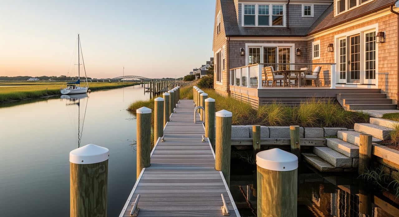
Fishing and boating
The canal is an active navigation channel and a destination for shore fishing. Boat ramps and marinas are available in Bourne and nearby villages, but slip and mooring availability can be limited. If boating is a priority, contact marinas early about waitlists and seasonal rules. Recreational boaters should also understand canal navigation rules and commercial traffic patterns.
Dining and essentials
You will find a mix of local restaurants and seafood markets around Sagamore and Bourne, with more options in nearby Sandwich and Mashpee. Hyannis in Barnstable is the regional shopping and service hub, often 20 to 35 minutes by car depending on traffic and season.
Getting around: bridges, traffic, and transit
Sagamore sits at a major access point to the Cape, so it is convenient and popular. That also means traffic cycles matter.
- Route 6 crosses the canal at the Sagamore Bridge, with Route 3 connecting north toward the Boston area.
- Travel times change by season. Off-season drives to Boston can run about 1 to 1.5 hours, while summer weekends and holidays often bring congestion and delays near the bridges.
For real-time conditions and seasonal patterns, check MassDOT updates and regional traffic studies from the Cape Cod Commission. If your routine includes Boston or other off-Cape trips, plan a test drive on a weekday and a summer weekend to get a true feel for timing.
Transit and seasonal rail
There is no year-round commuter rail to Boston from Sagamore. The CapeFLYER offers weekend seasonal service from Boston to Hyannis with a stop at Buzzards Bay. It is a useful option during summer if you want a car-free trip for part of the journey. Always confirm current schedules and seasonality on the CapeFLYER site.
Practical commute tips
- Visit potential homes at different times of day and season to hear road noise and gauge bridge approaches.
- Allow extra time during Memorial Day to Labor Day and long weekends.
- Keep an eye on MassDOT notices for any bridge maintenance or lane changes.
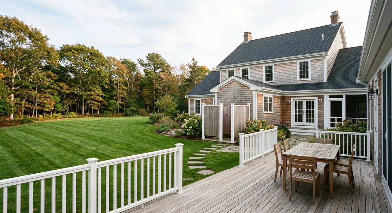
Seasons on the canal
Life near the canal moves with the calendar. Understanding the rhythms helps you pick the right location and set expectations.
Summer rhythms
Peak season brings visitors, seasonal residents, and full restaurant patios. Paths, beaches, and parking areas are busier. Short-term rental demand rises in certain neighborhoods, which may affect parking, noise, and traffic on weekends. If you are near a public access point or the bridge, plan for more activity on warm days.
Off-season and winter
Fall and winter are quieter. Some businesses reduce hours, and you will think more about practical maintenance like driveway snow removal, roof snow load, and preventing frozen pipes. Heating fuels vary by neighborhood, so confirm whether a property uses oil, propane, or natural gas, and price those costs with your usage in mind.
Storms, flooding, and insurance
The canal is tidal and influenced by storms. Homes close to the water or on lower ground may be within FEMA flood zones. Before you get too attached to a property, check the FEMA Flood Map Service Center to see flood zone status, talk with an insurance agent about coverage and premiums, and ask whether an elevation certificate exists or will be required. If a property has a bulkhead, seawall, or dock, understand maintenance history and permitting requirements. For canal-specific rules and storm operations, review U.S. Army Corps of Engineers guidance.
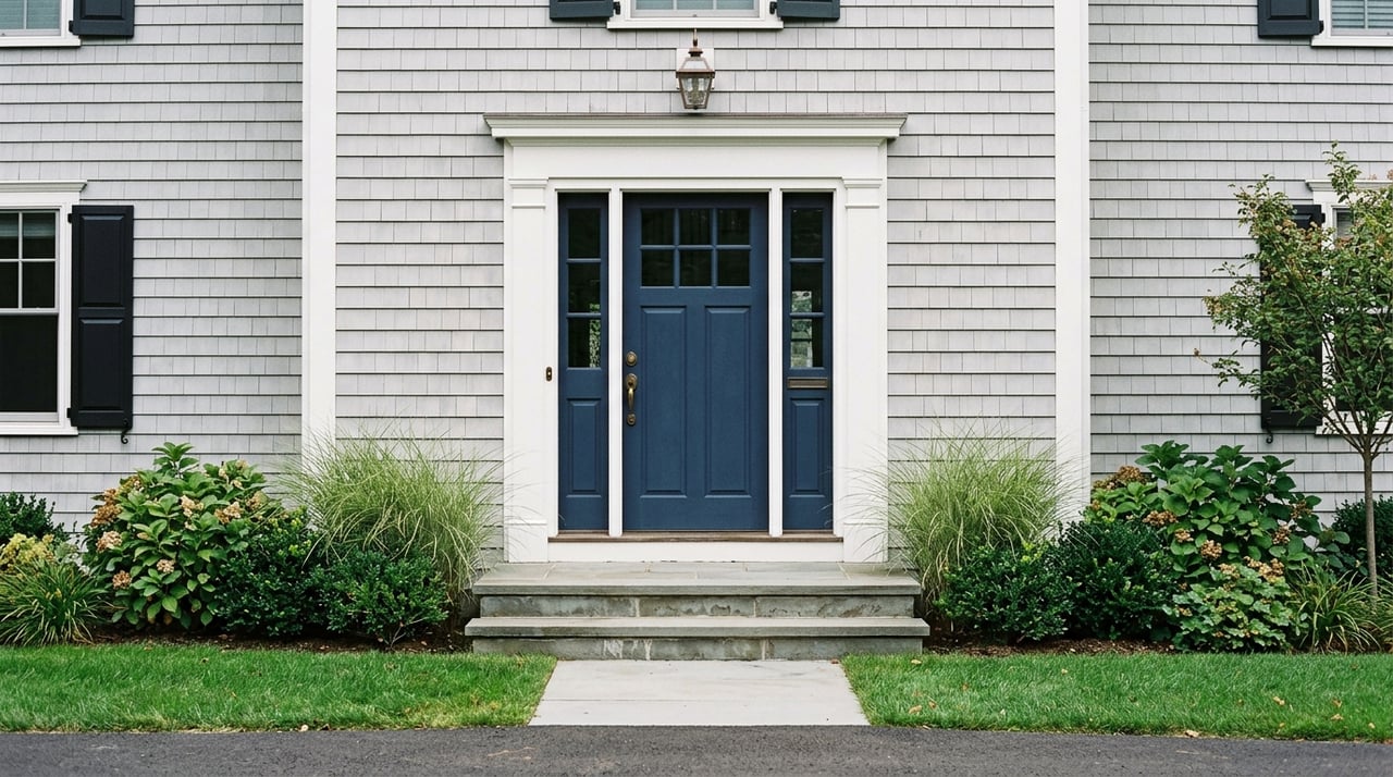
Home search checklist for canal living
Use this simple checklist to compare homes and avoid surprises.
Waterfront vs nearby inland
- Waterfront and canal-facing lots offer views and instant access to fishing or watching vessel traffic. They also come with higher maintenance, permitting considerations, and potentially higher insurance costs.
- Homes a few streets back often offer easier ownership with quick path access and lower exposure to flood risk.
Flood risk and elevation
- Confirm FEMA flood zone status and base flood elevation.
- Request any existing elevation certificate and consider a new survey if needed.
- Compare insurance quotes early so premiums are part of your decision.
Septic, wells, and utilities
- Many Cape homes use private wells and septic systems. Review recent inspections and Title 5 reports.
- Confirm heating fuel type and delivery logistics if oil or propane.
- Check broadband options if remote work is important in your household.
Noise and traffic exposure
- Visit on a summer weekend and a weekday evening to assess road and bridge noise.
- Park near the property at different times to hear how sound carries.
Zoning, rentals, and permits
- If you are counting on short-term rental income, verify the Town of Bourne’s current rules and any registration or licensing requirements.
- For any shoreline work like docks or bulkheads, speak with Bourne’s permitting offices and consult USACE guidelines for canal-adjacent projects.
Boating access and storage
- Ask about marina slip and mooring waitlists early.
- Understand seasonal launch and haul-out capacity in the area.
- If you plan to keep a boat at home, check driveway and storage allowances with local zoning.
Who manages what
- U.S. Army Corps of Engineers: Canal operations, paths, and recreation facilities. See the Cape Cod Canal recreation page for details.
- Massachusetts DCR: State parks and beaches including Scusset Beach State Reservation.
- Town of Bourne: Zoning, permitting, taxes, schools, and local services. Start with the town’s official website for department contacts.
Helpful links:
- U.S. Army Corps of Engineers Cape Cod Canal recreation
- Massachusetts DCR: Scusset Beach State Reservation
- FEMA Flood Map Service Center
- Town of Bourne official website
- Cape Cod Commission transportation resources
- MassDOT for traffic and bridge updates
- CapeFLYER seasonal rail service
How to start your search with confidence
- Walk the canal paths and visit Scusset Beach to get a feel for daily life.
- Test your commute on a weekday and a summer weekend.
- Review FEMA flood maps and talk with an insurance agent about potential premiums.
- Line up a Title 5 septic inspection and confirm utilities, fuel type, and broadband.
- If boating matters, call marinas now about waitlists and seasonal rules.
When you are ready to compare specific homes, a local perspective helps you weigh tradeoffs like views versus flood exposure, or trail access versus road noise. For tailored guidance and on-the-ground insight across Bourne, Sandwich, and nearby towns, connect with Tori Harrison for a smart, confident search.
FAQs
What is Sagamore’s location relative to the canal?
- Sagamore is a village in the town of Bourne at the eastern end of the Cape Cod Canal, close to the Sagamore Bridge and Sagamore Beach on Cape Cod Bay.
Are there paved bike and walking paths along the canal?
- Yes. The U.S. Army Corps of Engineers maintains paved, mostly flat service roads used year-round for walking, running, and biking; check USACE canal recreation resources for details.
How busy does the Sagamore Bridge get in summer?
- Summer weekends and holidays bring notable congestion near the bridges; use MassDOT updates and Cape Cod Commission resources to plan timing and alternate routes.
Is there train service from the Cape to Boston?
- There is no year-round commuter rail; the seasonal CapeFLYER runs weekends in summer between Boston and Hyannis with a stop at Buzzards Bay, so always confirm current schedules.
How do I check if a Sagamore home is in a flood zone?
- Search the FEMA Flood Map Service Center by address, ask for any elevation certificate, and speak with an insurance agent about coverage and premiums.
Who regulates short-term rentals in Sagamore?
- The Town of Bourne sets and enforces local short-term rental rules; verify current requirements with the town before assuming rental income.
Who permits docks or shoreline work near the canal?
- Contact the Town of Bourne’s conservation and permitting offices and review U.S. Army Corps of Engineers guidance for canal-adjacent projects before planning any work.