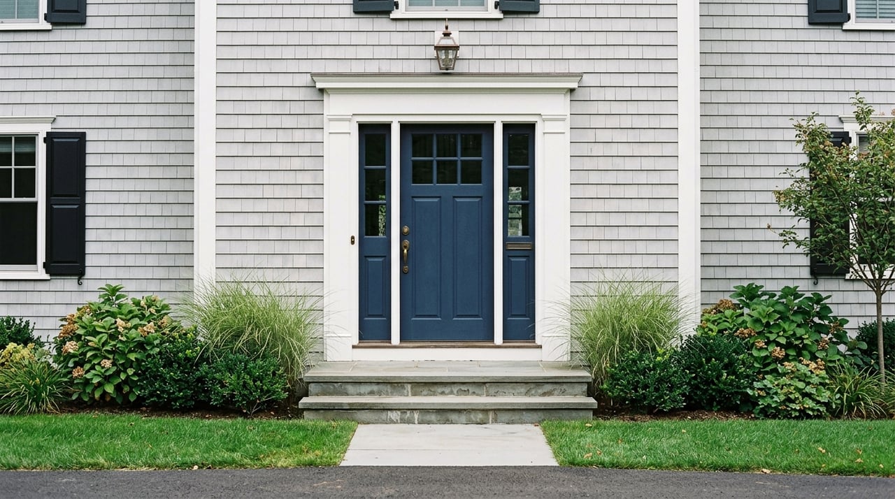
If you are buying waterfront in Sandwich, the view is only the beginning. Two homes can both look out at the water and still offer very different experiences when it comes to tides, flood risk, erosion, access, and what you can actually do with the land. Understanding those differences before you make an offer can help you protect your budget, avoid surprises, and buy with more confidence. Let’s dive in.
Why Sandwich waterfront is different
In Sandwich, “waterfront” is not one simple category. A property on Cape Cod Bay, near the Cape Cod Canal, along a harbor area, or beside a marsh or creek can each come with a different mix of exposure, shoreline behavior, and permit requirements.
That matters because value is tied to more than a water view. The Town of Sandwich notes that its coastline has long been shaped by storms, coastal flooding, and beach and dune erosion, and that the Cape Cod Canal changed sand movement along the coast. In other words, where the property sits along the shoreline can affect both day-to-day enjoyment and long-term ownership costs.
Tides shape daily use
If you are evaluating a waterfront home, tides should be part of your review right away. They can affect beach access, boating use, the look of the shoreline, and how much exposed land you actually see and use throughout the day.
For Sandwich-specific tide information, use NOAA’s official tide reference station for Sandwich Marina at the Cape Cod Canal entrance. This gives you a local reference point instead of a broad regional tide table that may not reflect site conditions as closely.
Why local tide data matters
A listing may describe a property as having water access or shoreline frontage, but the practical experience can change with the tide cycle. At high tide, a shoreline may feel very different than it does at low tide, especially near marshes, creeks, or harbor areas.
If boating is part of your plan, local tidal conditions become even more important. The same goes for properties where your enjoyment depends on beach width, walkability, or proximity to the water’s edge.
Flood zones and insurance costs
Flood risk is one of the first things to verify when buying waterfront in Sandwich. The town’s Floodplain Division can help with FEMA flood map questions, property determinations, flood-resistant construction requirements, and related guidance.
Sandwich is also a Class 7 NFIP Community Rating System community, which the town says provides residents a 15% flood insurance discount. That can help with ownership costs, but it does not remove the need for careful due diligence on the specific property.
What buyers should confirm early
A waterfront buyer should confirm whether the home is in a Special Flood Hazard Area and what the Base Flood Elevation means for the structure. According to FEMA, lenders must require flood insurance for buildings in Special Flood Hazard Areas in communities that participate in the NFIP, and flood maps are the official basis for flood-zone designations.
It is also smart to ask for an elevation certificate, prior flood claim history if available, and an insurance quote early in the process. FEMA notes that flood insurance is separate from most homeowners insurance, so you do not want to wait until the last minute to understand the full cost of ownership.
Flooding and erosion are not the same
One of the biggest mistakes waterfront buyers make is treating flood risk and erosion risk as if they are identical. They are related, but they are not the same issue.
Flood maps help you understand insurance and building requirements. Erosion, on the other hand, speaks more to shoreline change over time, how stable the land is, and whether the property may face changing conditions even if the house itself is currently outside the highest-risk flood designation.
Sandwich shows sharp shoreline contrasts
Sandwich offers a clear example of why this distinction matters. In the 2022 Massachusetts climate change assessment, Town Neck Beach is described as experiencing erosion rates of more than 1 foot per year, while Scusset Beach shows accretion of more than 1 foot per year because the canal jetty traps sediment.
That means nearby stretches of shoreline can behave very differently. Before you buy, it helps to review the town’s coastal resiliency information and use state planning tools like the Massachusetts Sea Level Rise and Coastal Flooding Viewer, while remembering that the state says this viewer is for planning only, not for legal, engineering, permitting, or surveying decisions.
Permits can affect future plans
A beautiful lot does not always mean you can make every change you have in mind. In Sandwich, waterfront and near-water properties often fall under wetland and coastal review rules that can affect additions, grading, drainage work, shoreline stabilization, and other improvements.
The Sandwich Conservation Commission administers both the Massachusetts Wetlands Protection Act and the town’s wetlands bylaw. Under the Town of Sandwich Wetlands Bylaw, work within 100 feet of protected resource areas such as beaches, dunes, marshes, bays, estuaries, and other wetland resources may require review.
Common projects that may trigger review
If you are buying with plans to improve the property, ask early whether your ideas could require town review. Projects that may raise permit questions include:
- Additions or expanded building footprints
- Grading or drainage changes
- Retaining walls or shoreline work
- Dune or bank alterations
- Replacement of certain structures near protected areas
The town’s coastal environmental permitting guide reinforces that construction or alteration in or near wetland resource areas is subject to review. In practice, this means your future plans should be part of your buying decision, not an afterthought.
Water access is not always what it seems
In waterfront real estate, buyers sometimes assume that proximity equals rights. That is not always true.
A property may sit near the water and still not include deeded access, dock rights, mooring rights, or approval for a float. In Sandwich, the town’s waterways bylaw states that moorings and floats require approval from the Harbormaster or Assistant Harbormaster.
What to verify in the title work
Before you rely on any listing description, confirm the legal details in the title packet. You will want to verify:
- Deeded beach or shoreline access
- Easements that benefit or burden the property
- Any existing dock-related rights
- Whether mooring or float use has approval
- Whether those rights are actually transferable
This is one of the most important value checks on any Sandwich waterfront purchase. A home with a view and a home with legally usable access can command very different market appeal.
What drives waterfront value in Sandwich
Waterfront value usually comes from a bundle of features, not just one label. Broader coastal research continues to show premiums for waterfront and ocean-view property, even as climate-related risks rise. A 2024 Nature Communications study found that U.S. coastal real estate still sells at a premium and that ocean views remain highly desirable.
In Sandwich, that premium is likely shaped by a combination of physical and legal factors. The strongest value drivers often include the quality of the view, direct shoreline use, frontage type, elevation, flood-zone status, storm exposure, and whether access features are actually permitted.
Features that can strengthen value
A waterfront property may hold stronger long-term appeal when it offers:
- Clear, uninterrupted water views
- Usable shoreline frontage
- Better elevation relative to nearby homes
- More manageable flood and insurance exposure
- Stable shoreline conditions compared with nearby stretches
- Verified legal access or boating-related rights
Features that may add complexity
Some waterfront settings are still highly appealing, but they can carry more diligence needs. Marsh-front parcels, barrier-beach-adjacent sites, and highly exposed coastal lots may offer privacy and impressive scenery while also bringing more questions about permits, erosion, and insurance.
The Town of Sandwich also notes that it is pursuing resilience and nourishment efforts for the Town Neck barrier-beach system through public partnerships. That is helpful context, but buyers should not assume that public coastal resiliency work removes future risk or guarantees shoreline stability.
A smart due diligence plan
When you find a waterfront home you love, it helps to slow the process down just enough to verify the details that matter most. That can protect you from overpaying for features that are limited by regulations, insurance costs, or shoreline conditions.
A strong pre-offer or under-contract review usually includes:
- Confirming the lot’s exact relationship to the water with a survey, plot plan, and FEMA map
- Reviewing flood-zone status and insurance requirements
- Asking for an elevation certificate and flood insurance quote early
- Checking whether future improvements may need Conservation Commission review
- Verifying deeded access, easements, and any mooring or float rights
- Reviewing shoreline change history for that specific area
- Using state planning tools along with parcel-specific advice from qualified local professionals
Buying with a clearer picture
Waterfront in Sandwich can be rewarding, but it is rarely a plug-and-play purchase. The same features that create beauty and long-term appeal can also create extra layers of regulation, maintenance, and cost.
If you go in with a clear understanding of tides, permits, flood exposure, access rights, and shoreline behavior, you will be in a much better position to choose the right property and negotiate from an informed place. If you are weighing a waterfront, marsh-front, or coastal home in Sandwich, Tori Harrison can help you evaluate the property with a local, practical lens.
FAQs
What does waterfront mean in Sandwich real estate?
- In Sandwich, waterfront can mean bay frontage, canal-adjacent property, harbor proximity, marsh-front land, or a home near the water, and each type can have different access, exposure, and permit considerations.
How do I check flood risk for a Sandwich waterfront home?
- Start with the Town of Sandwich Floodplain Division and FEMA flood maps to confirm flood-zone status, Base Flood Elevation, and whether flood insurance may be required by a lender.
Do I need permits for improvements on a Sandwich waterfront property?
- Many projects may require review, especially if the work is within 100 feet of protected resource areas or involves grading, additions, drainage changes, shoreline work, or structures near wetlands.
Can a Sandwich waterfront home automatically include mooring or float rights?
- No, waterfront proximity does not automatically create those rights, and moorings or floats require approval from the Harbormaster or Assistant Harbormaster.
Are erosion and flood risk the same for Sandwich coastal homes?
- No, flood risk relates more to mapped flood exposure and insurance, while erosion risk relates to shoreline change over time and should be reviewed separately for the specific site.